I’m currently attending a field school on underwater archaeology and GIS at Sanisera on the lovely island of Menorca. To learn more about the field school I’m at, please click this LINK.
***
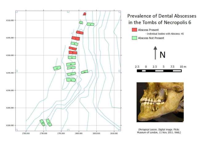
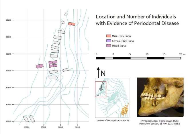
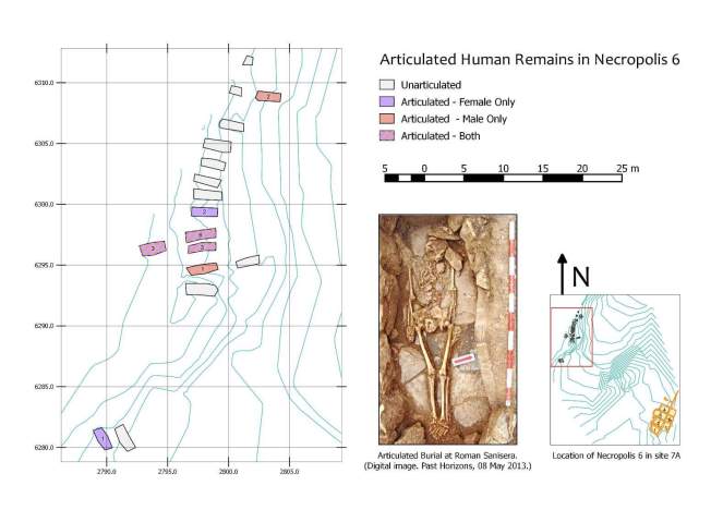
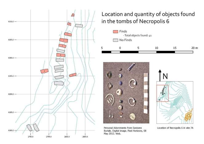
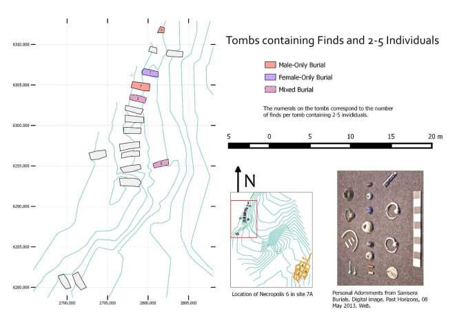
September 2, 2015 – Well, today we finally got to make some REAL maps. And you know what? Qgis did ok. I still think ArcGIS is a superior program, but I kinda like how these turned out.
Kinda. They’re not really as… Aesthetically pleasing as I would have liked. But oh well. Hopefully they’re understandable.
(The numbers on this map are just the tomb’s id, they shouldn’t really be there. Sorry, please ignore them.)
(The numbers in these two refer to the number of individuals buried in each tomb.)
(The numbers in these two refer to the number of items found in each tomb.)
Btw, looters, save your energy. These tombs are actually nothing, this was just practice data we were working with.
Also, sorry for repeating pictures, this was just an exercise and I figured I could save time by using the same pics over again.
Aaaand… This was my last day! I hope you enjoyed these! Time for me to go back to Cambridge now, TTYL.
